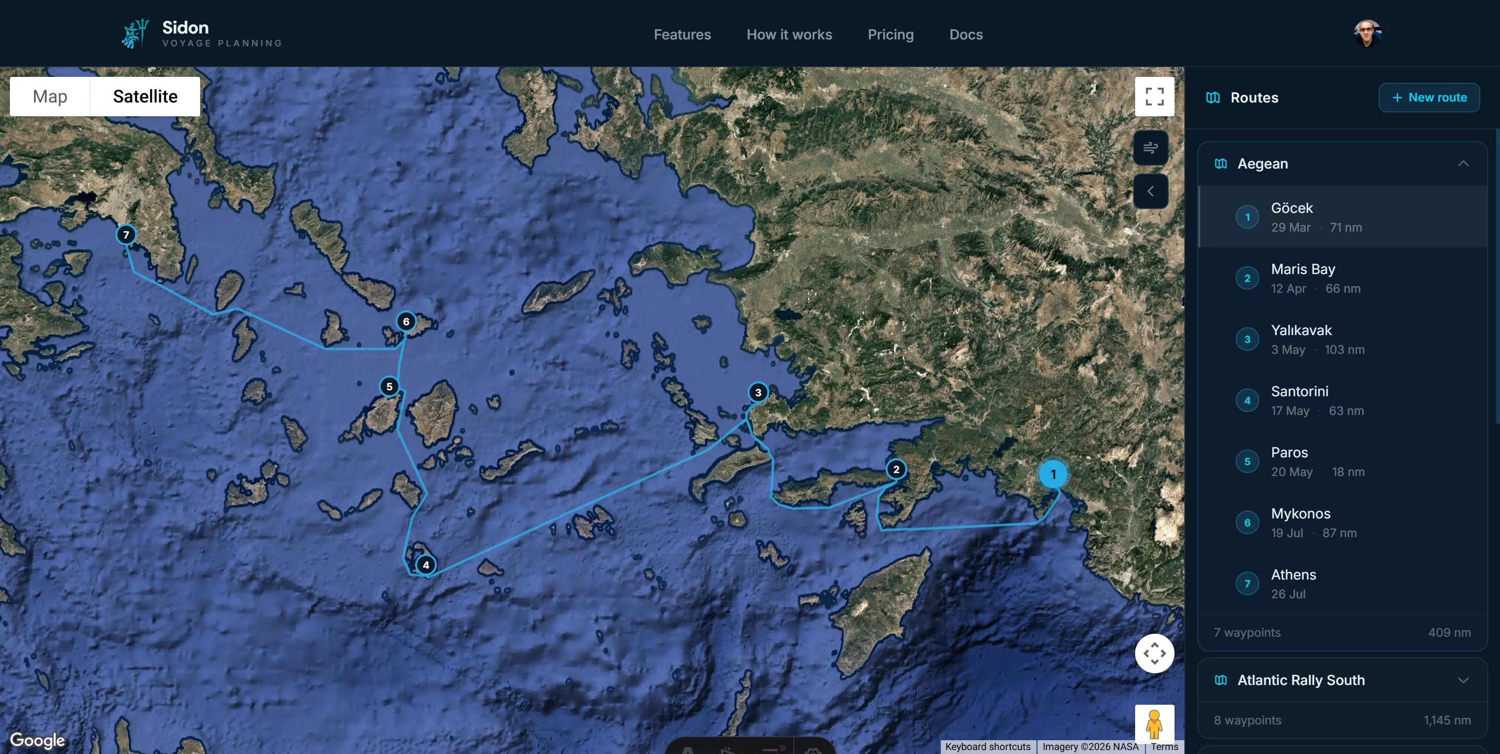
Sidon needed a platform where sailors could plan multi-leg passages, find moorings, and read the weather — without switching between six different tools. One chart. Everything on it.
Sailors were stitching together routes on paper charts, weather on Windy, moorings on a PDF directory, and tidal data from a separate app. The brief: collapse it all.
The challenge was not feature parity — it was deciding what to leave out. Every extra control is a distraction when you are 20 miles offshore trying to find a berth before dark.
Every screen had to work at sea — on a phone in bright sunlight with salt-stiff fingers. We stripped the interface to its essentials and built back from there, testing at each stage against real passage plans.
Multi-leg route building with automatic distance and heading calculations. Live Windy weather overlays for wind, wave, and swell. Tidal stream analysis with ETA calculations baked into the chart view.
3,200 indexed moorings and anchorages with depth, facilities, and approach notes. Crew sharing with role-based access so a skipper can share a passage plan with the whole crew in one tap.
For the first time, I planned an entire Atlantic crossing without leaving a single tab.
— James R., Offshore Skipper
Tell us what you're building and we'll take it from there.
Start a project →